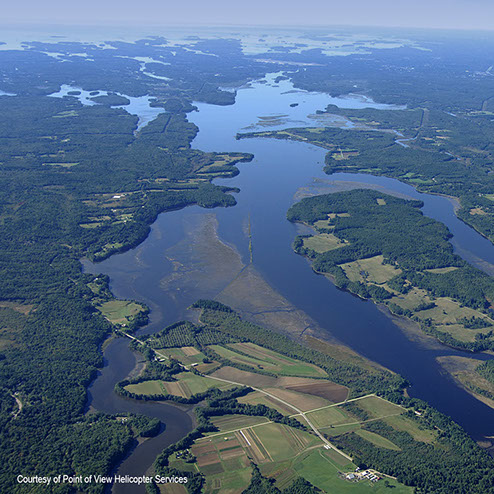
A cross-disciplinary study focusing on the history and lifeways of the European pioneers who settled in the Merrymeeting Bay area during the 17th and 18th centuries.
A cross-disciplinary study focusing on the history and lifeways of the European pioneers who settled in the Merrymeeting Bay area during the 17th and 18th centuries.